
Services - Surveying and Monitoring


Surveying and Monitoring
Implement the dataset to support analysis, modeling and forecasting
Direct and remote acquisition of topographic, hydrological, hydrogeological, geophysical and geotechnical data
The prediction of slope instability events and their interaction with structures and infrastructures involves the identification of:
- the triggering agent;
- the relationship between type of phenomenon, type of agent and the intensity of the same;
- the mode of evolution of the phenomenon through the transition between different evolutionary phases.
EG4 Risk carries out monitoring network design, data interpretation, evolution forecasting and modeling activities.
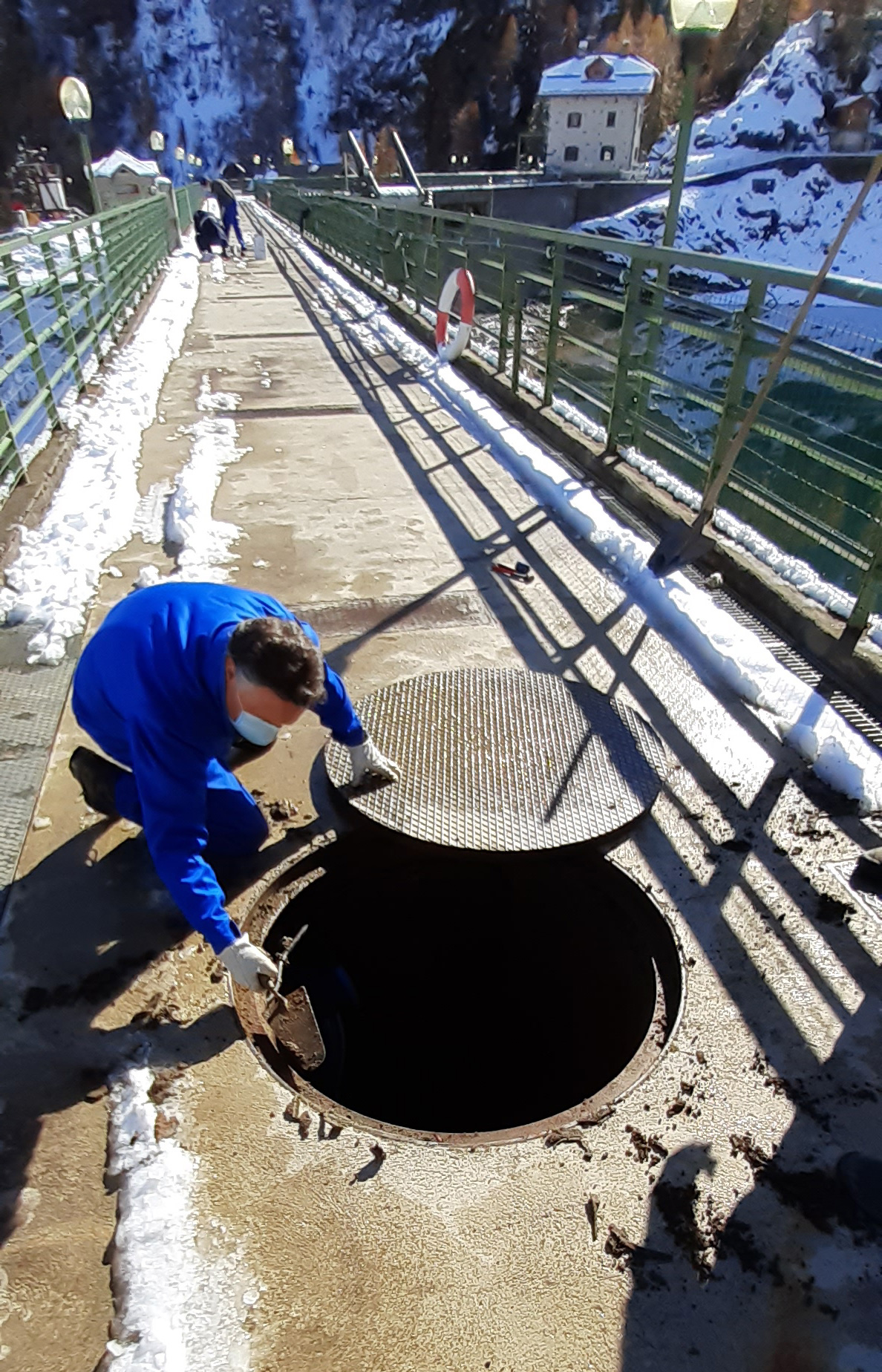
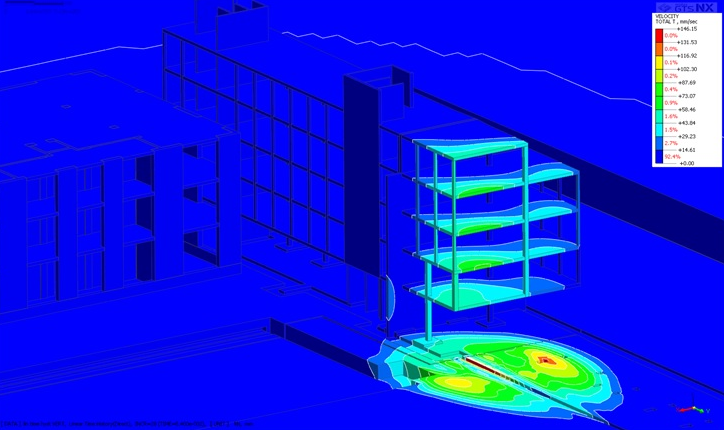
Environmental and structural monitoring
EG4 Risk offers structural and environmental monitoring services, providing real-time solutions and analyses to support the management of environments, buildings and structures and problems related to source-induced vibrations.
Proposed monitoring solutions:
- Automatic and manual monitoring of deformations;
- Automatic and manual monitoring of cracks;
- Real-time monitoring of vibrations and noise;
- 3D scanning.
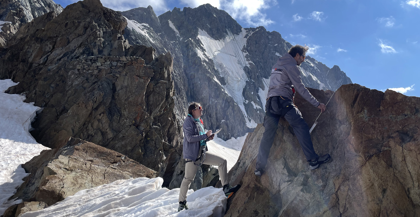
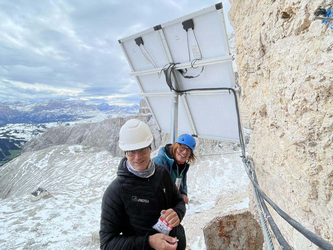
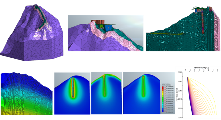
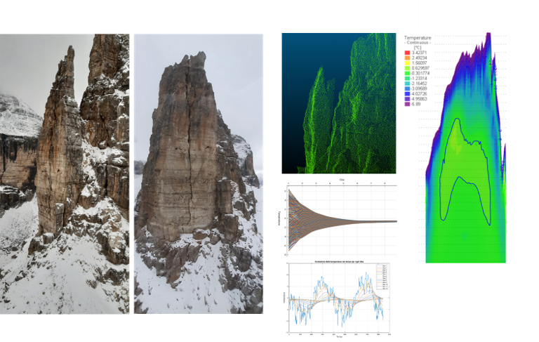
Stability analysis and monitoring of high-altitude infrastructure
Assessment of the effects of permafrost degradation and risk mitigation strategies
Characterisation of high-altitude infrastructure with a focus on the effects of thawing permafrost. Global warming is accelerating the degradation of permafrost, compromising the stability of critical mountain infrastructures. Through on-site surveys and remote analyses, we study the geological conditions of the ground on which these structures are built and assess potential instability factors. We propose monitoring strategies and solutions to mitigate the risk, contributing to the safety and resilience of Alpine structures.
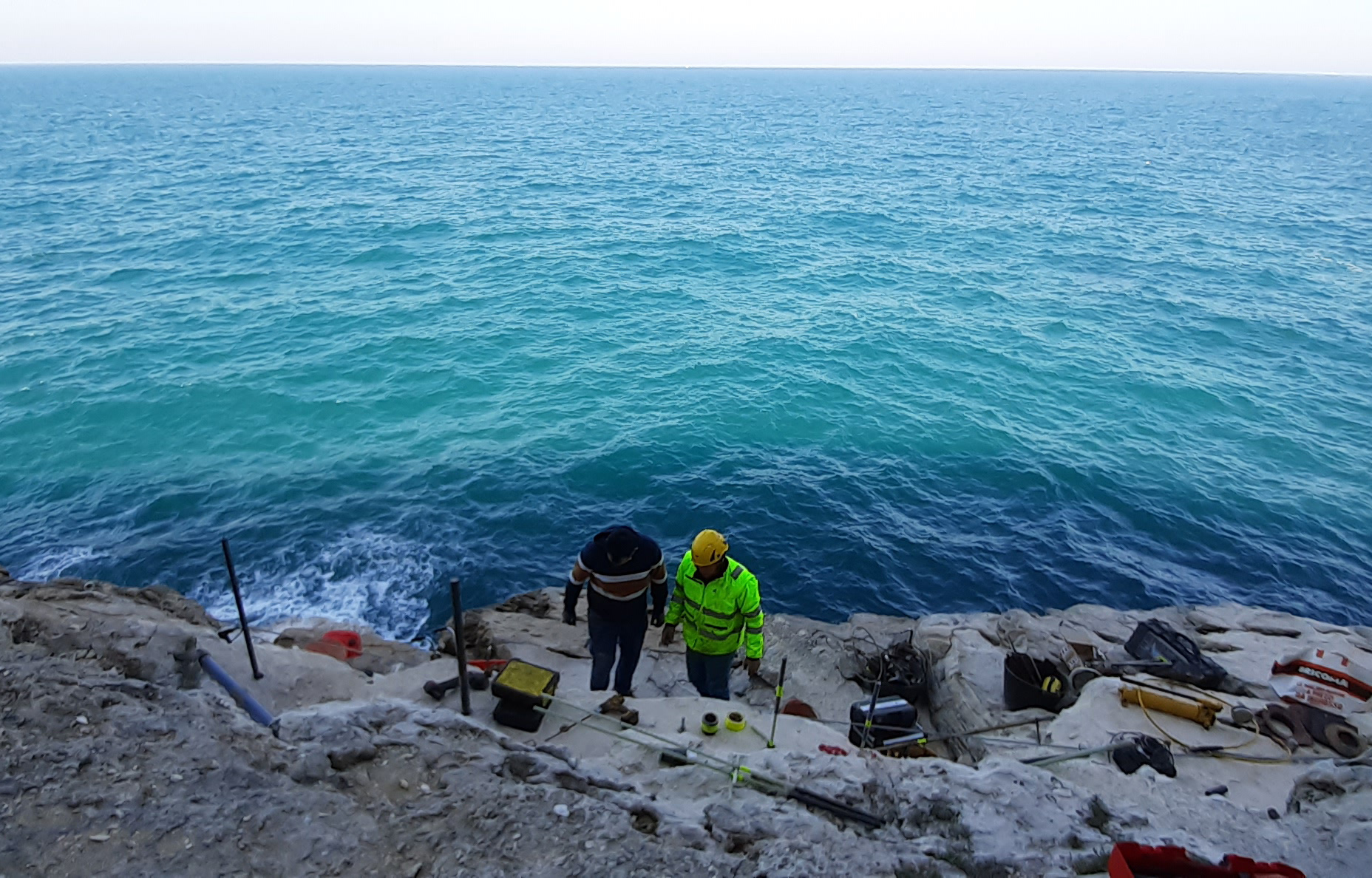
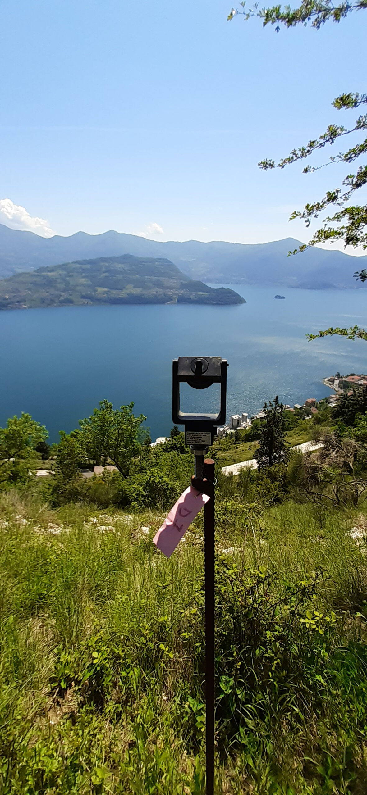
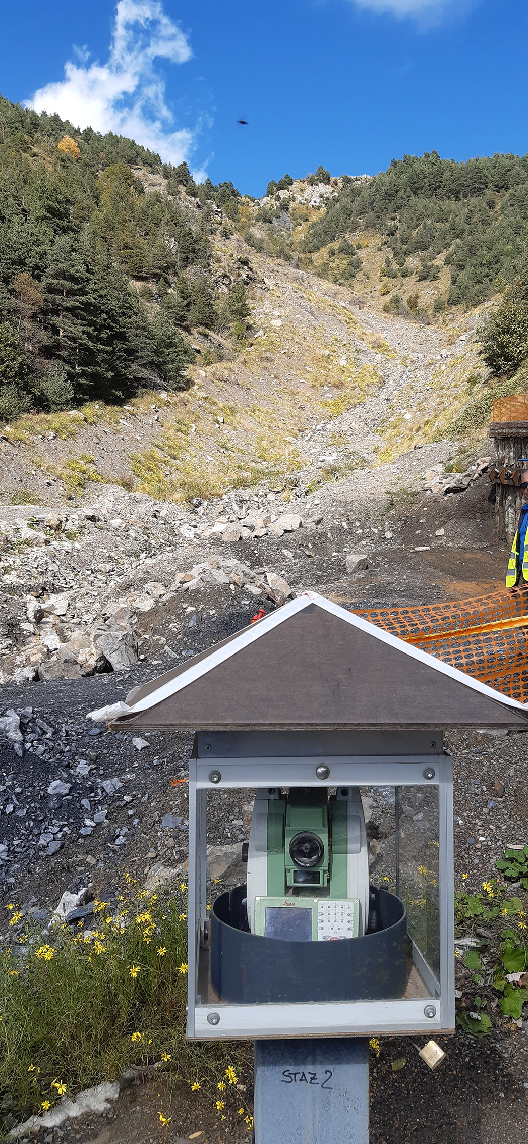
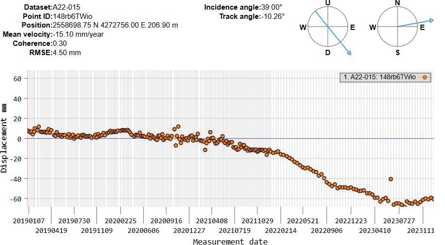

The availability of the monitoring tools and data, methods of analysis and modeling is essential in these forecasting phases. EG4Risk has a long experience in the design of monitoring networks, data collection, analysis and forecasting modeling for the triggering of landslides from intense meteoric events, snow fusion, earthquakes and from the human activities. EG4Risk is expert in the analysis of data from monitoring networks and remote acquisition of topographic, hydrological, hydrogeological and geotechnical variables. In particular, EG4Risk performed data analysis activities detected by laser scanners, ground-based interferometric synthetic aperture radar (GB-InSAR) and by satellite,
with development of approaches for the analysis and use of such data in classifications of the activity status and prediction of evolution in terms of expected displacements and evolution by rapid collapse. EG4Risk staff has developed such activities for both superficial and deep instability, in very different environmental conditions, for natural and artificial slopes, in mining excavations, in soil and rocks, for some of the landslides considered to be among the most dangerous in Italy. In these activities, trigger and warning thresholds have been defined to be used in Early Warning systems and for the management of civil protection plans.
EG4RISK S.R.L
HEADQUARTER:
Via Giotto, 36
20145 Milan
mail@eg4risk.com
tel: +39 02 583 03 324
P.I. e C.F. 10333370962
UNIVERSITY OFFICE:
Department of Earth and Environmental Sciences
University of Milan – Bicocca
Piazza della Scienza 4, 20126, Milan, Italy